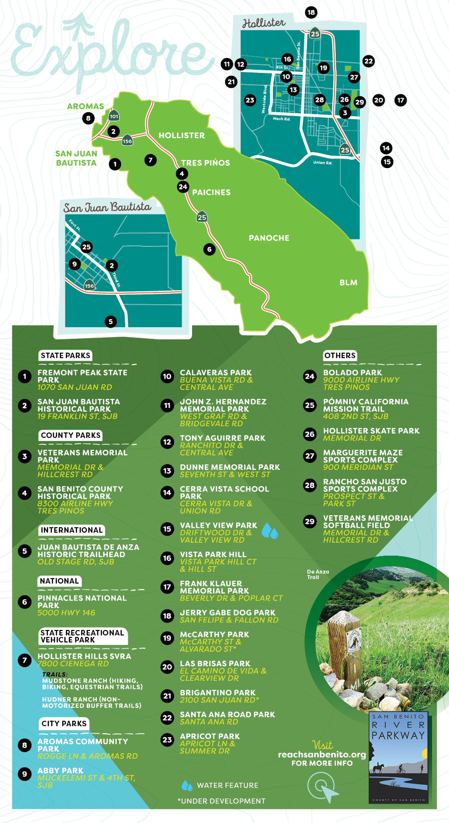
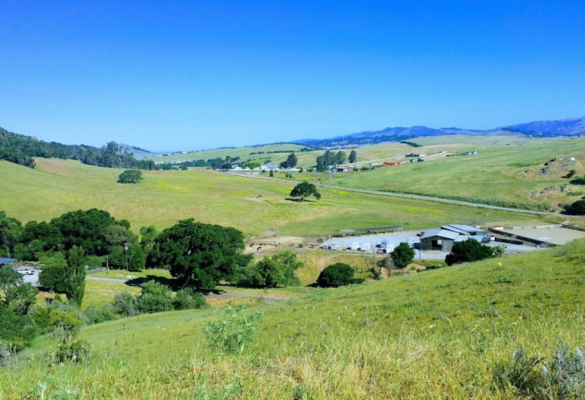
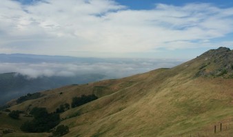
BenitoLink, the interactive online news source for San Benito County, worked with Jim Ostdick to publish a series of articles on the many places to hike in the county called Walking San Benito
BenitoLink executive director, Leslie David wrote, “Jim combines tidbits of history, geology and biology as he tours our county trails.”
I think you’ll agree that these articles are a treasure!
WALKING SAN BENITO
by Jim Ostdick
Jim Ostdick is a retired teacher and author who has resided in San Juan Bautista since 2005. His primary interests are energy conservation, outdoor recreation, and human-powered travel. An avid hiker and bicycle tourist, he has backpacked the Pacific Crest Trail from Mexico to Canada (2009), bicycled the perimeter of the lower forty-eight United States (2013-14), and walked from the Atlantic coast to the Pacific coast (REACH Across America, 2016). He is the author of Palomino and the Dream Machine: A Retired Dude's Bicycle Tour Around the Lower Forty-Eight United States (Amazon.com, 2015) and Palomino Nation: My 2016 Crazyass Walk Across America (Amazon.com, 2017). He is a dedicated Adopt-a-Highway volunteer and served on the board of the R.E.A.C.H. San Benito Parks Foundation 2015-2017. jim.ostdick@gmail.com Palomino Dream blog http://www.palominodream.blogspot.com Palomino and the Dream Machine http://amzn.com/B00V7OT70W Palomino Nation http://amzn.com/B075ZR65XL
Below is a sampling of his walks and hikes in San Benito with links to his full 24 articles on Benitolink.
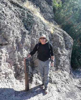
San Benito Parks & Open Spaces
Panoche Hills
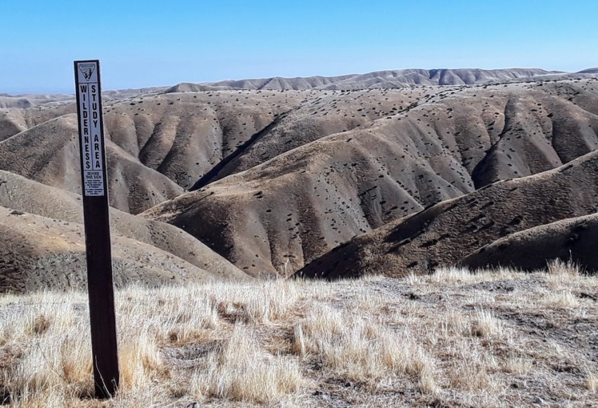
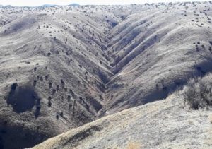
Badlands topography in the Panoche Hills Recreation Area.
Technically, nature fans, the wonderful hike described herein is not really within the boundaries of San Benito County. I am fudging a little bit. The turn toward the U.S. Bureau of Land Management Panoche Hills Recreation Area from Little Panoche Road is actually about two miles into Fresno County, a minute or two after the entrance to Mercey Hot Springs. However, these badlands are so cool, so fascinating, that you simply must ignore that fact and go anyway. Furthermore, I propose that San Benito County residents adopt these badlands as our very own. Do not worry. Fresno folks will not even notice. The force is with us.
As a geological genre, badlands topography is stunning and unique. The sweeping, grassy terrain is chino brown and arid, made up of soft, eroded sedimentary rock with very little vegetation and sliced by steeply angled ravines and canyons. The Panoche Badlands were formed from uplifted marine sediments dating back to the Cretaceous period between 140 and 65 million years ago, when what is now California’s Great Central Valley was covered by a shallow sea. Mosasaur (giant reptile) fossils have been excavated from these hills by university paleontologists. If you are fortunate enough to stumble upon exposed vertebrate remains or Yokut artifacts on your hike, please report their location to the local BLM office. Be part of history by allowing your discovery to be properly catalogued and respectfully preserved for posterity.
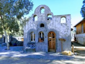
Historical building serves as the Mercey Hot Springs resort office. Visit their website here..
To reach Panoche Hills from Hollister, go south on Hwy 25 to Paicines, turn left on Panoche Road and continue over Panoche Pass. Just past the Panoche Inn, turn left on Little Panoche Road, drive past the Solargen Project and Mercey Hot Springs, and turn right at the Panoche Hills Recreation Area sign. The overlook is a few miles from there. Check it out, you will be glad you did.
And please, my friends do not litter.
For a location map of the Panoche Hills Recreation Area, please click here.
To continue reading visit BenitoLink here..
Brigantino Park
I have probably passed by Brigantino Park several thousand times coming into Hollister from San Juan Bautista. The park is located just west of the Fourth Street bridge off the Highway 156 business route leading into Hollister, but until last Friday, I had never stopped to check it out. Guess what, folks? It’s a jewel!
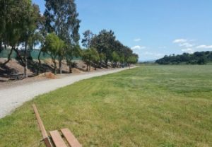
Bench and trail and grassy area.
I had about 30 minutes to kill in between appointments in town and I really felt like stretching my legs, so I pulled into the parking area to see what the park had to offer. From the road, it appears to be just a large, undeveloped green space. I was looking for a walking path, hopefully with some nice views. Brigantino Park did not disappoint.
To continue reading visit BenitoLink here..
San Juan Bautista Loop
One of the great things about San Juan Bautista is that everything is within walking distance. From where I live on the edge of town, I can head out in just about any direction and find open roads, challenging hills, terrific views, captivating history, and lots of friendly faces. This article describes a five-mile loop around one of my very favorite places.
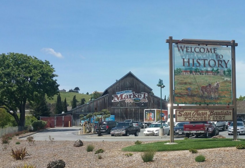
You can begin a loop hike anywhere and have essentially the same experience, but I will start at the Windmill Market shopping center at Highway 156 and The Alameda for the convenience of out-of-towners. That’s where our one and only stoplight is so it’s easy to find.
The San Juan Bautista Loop will keep you in shape, teach you about your history, and let you play all in the same day.
And please my friends, don’t litter.For a San Juan Bautista location map, click here.
To continue reading visit BenitoLink here..
San Juan Historic Walking Trail

Enjoy San Juan Bautista’s rich California heritage at the perfect pace, one step at a time, on the self-guided walking trail of historically significant sites that tell much of the history of San Juan Bautista. Home to California’s largest Spanish era mission, nationally recognized State Historic Park and Downtown National Historic District, as you walk through San Juan Bautista you will gain an appreciation of California’s people, from Native Americans to the Spanish and Mexican influences, to the early American period of the 19th century.
Forty-nine historic and fascinating sites lie along San Juan Bautista’s two-mile historic walking trail, affording residents and visitors with a unique chance to experience one of the most historic destinations in the state. Click HERE for a downloadable version of the walking trail map. A full walking trail brochure is available at the Welcome Center, 319 3rd Street, and in many of the downtown restaurants and businesses.
 The downtown historic district buildings on the historic walking trail each have their own plaque identifier.
Created by a volunteer committee of members from the Rozas House Org., Inc., SJB Historical Society, San Juan Committee and City Strategic Planning Committee, the group received funding to develop the historic walking trail through a community impact grant from the Community Foundation for San Benito County, and grants from the San Juan Bautista City Council, County Supervisor Anthony Botelho, the San Juan Bautista Historical Society and True Leaf Farms/Church Bros. Farms, SJB.


On a Mission
Recently, I had the pleasure of meeting with my hiker friend, Ilia Carson, to discuss her most recent project called Pomniv: the Way to Go. Ilia is an accomplished walker, a veteran of El Camino Santiago in Spain, the Inca Trail in Peru, as well as the California Mission Walk (Pomniv) from Sonoma to San Diego. She is in the process of building and promoting a website to make the 800-mile California pilgrimage a world class trek on par with El Camino Santiago.
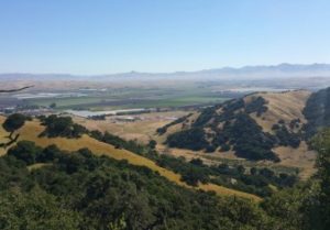
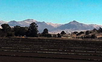
View toward the Diablo Range from the De Anza Trail.
About 15 of those miles cross through San Benito County, from Aromas to Mission San Juan Bautista, of course, and finishing up on the Juan Bautista de Anza National Historical Trail.
About the De Anza Trail: closed to motor vehicle traffic, this historic route from the Salinas area to San Juan Bautista is open daily to hikers, horses, and bicycles during daylight hours. No camping is allowed and pets should be leashed for their own protection. There is no drinking water on the trail or at the trailhead, so be sure to bring some for you and some extra for Fido. And please my friends, do not litter.
Aromas to San Juan Bautista route map
To continue reading visit BenitoLink here..
Everybody's Mountain
Poking its rocky cone-shaped head up 3,169 feet above sea level, with a flagpole and historical plaque on top, Fremont Peak is one of the most recognizable landscape features in San Benito County. Easily visible from almost anywhere in the region, the mountain’s microwave repeater stations can be seen for miles in every direction. As the star of California’s Fremont Peak State Park, the relatively short and very accessible hiking trail to the summit makes Fremont Peak one of the state’s easiest prizes for both peak baggers and weekend campers alike.
Frequent Saturday night star parties at the Fremont Peak Observatory draw astronomy buffs from far and wide. The park’s informative brochure describes current camping opportunities and the history of the mountain, plus it provides a map of the hiking trails that circle the campgrounds and lead to the summit.
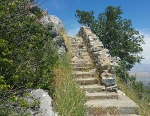
Fremont Peak stairs from the saddle.
And please my friends, do not litter.
For a Fremont Peak State Park location map, click here.
To continue reading visit BenitoLink here..
Pinnacles National Park South Wilderness Trail
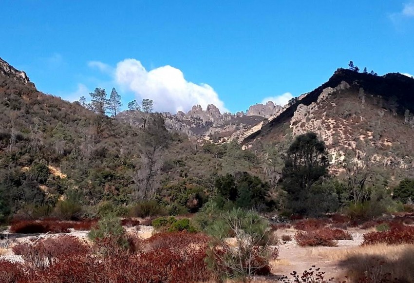
One of the best things about San Benito County is the national park right in our backyard. On the final Thursday morning of summer, under a perfectly sunny blue sky decorated with puffy white cumulus clouds, it was time to head south on the Pinnacles National Park Highway to go for a hike.
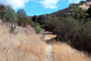
Typical stretch of the South Wilderness Trail
There are many trail choices in the park, some long and strenuous and others more moderate. Hiking pal Mike was scheduled to pick up his grandson early that afternoon, so we decided on a quick morning adventure on the South Wilderness Trail. Parking at the Peaks View parking lot, we walked southeast on the Bench Trail to connect with our target. A mostly flat 6.5 mile round trip hike, the South Wilderness Trail is described as “unmaintained” by the park, but it gets enough traffic for the tread to be pretty easy to follow. From the Bench Trail, walk the fire road for a few minutes until you see the signed trail splitting off to the south. The one tricky part comes a few minutes after that, where you must turn right down into (seasonally dry) Chalone Creek and cross to the other side to continue.
And please, my friends do not litter.
For a location map of Pinnacles National Park, please click here.
Continue reading at BenitoLink here..
Pinnacles National Park Balconies Cave Trail
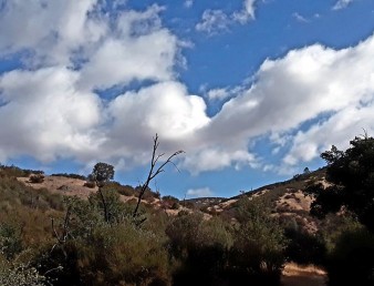
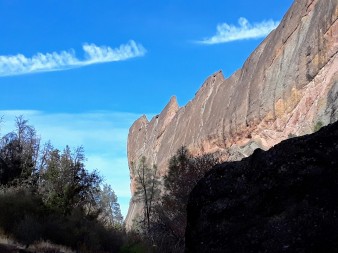
Machete ridge
After a big breakfast on a bright and sunny New Year’s Day, I decided to head for Pinnacles National Park for a little adventure. I wanted to go where there would be a lot of people to make my hike more festive and holiday-ish. I immediately thought of the very popular Balconies Caves. From previous experiences, I knew there are a few different routes to the caves from Bear Gulch on the east side of the park, all of which are long and time-consuming. Due to my late start and full belly, I ruled these routes out and opted for the easier and quicker west entrance trailhead near Soledad. To get there, I took a scenic back road drive over La Gloria Road from Highway 25.
La Gloria Road slices through the Gabilan Mountains on an unpaved, twisty, washboard gravel track about 30 miles south of Hollister. There are awesome views and some great examples of what I call “farm art,” rusted vehicles and implements that will put a smile on your face, even though they have seen better days. That said, the east side entrance and approach to the Pinnacles in San Benito County scores much higher for overall beauty and drivability than the west side. After you drive into Monterey County and down into Soledad, the road is narrow and winding with very little exceptional scenery. Not until you are actually in the park does the landscape wow you with outstanding rock formations and color. Once you are there, however, the iconic Pinnacles and sky high Machete Ridge do not disappoint.
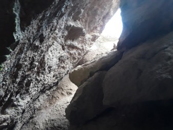
Balcones caves trail
And please, my friends do not litter.
For a location map of Balconies Caves in Pinnacles National Park, please click here.
Continue reading at BenitoLink here..
Pinnacles National Park North Wilderness Trail
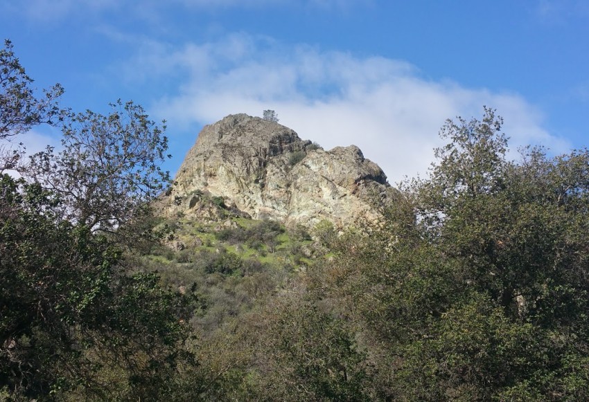
Everybody knows that the real “fall back” date this year is November 5, when we set our clocks back one hour, right? For this article, I decided to fall all the way back to last March instead. The original plan for this week was to hike one of the Pinnacles National Park trails. Due to the recent blazing hot temperatures and an injury to my hiking buddy, I elected to wax poetic about a two-hour out-and-back hike we took on the North Wilderness Trail several months ago on a sunny, cool springtime day.

trail
Note: this hike can be done as a 9.3 mile loop if you want more of an endurance challenge and some awesome, remote park scenery. If you decide to take that one on, though, bring plenty of water and snacks and check in advance to see if the Balcones Caves are open. If the temperatures are in the nineties, I would caution against it for most casual hikers.
This is an easy out-and-back hike for most folks. Walk as long as you want and then turn around back to the truck. Starting from the Old Pinnacles Trailhead parking lot, walk northwest on the Old Pinnacles Trail a half mile or so to the intersection with the North Wilderness Trail, then head north along the North Fork of Chalone Creek. In the spring, water in the creek will sing to you as you move upstream along the gentle grade. There are good views of the trademark pinnacles to the west and for the most part, the trail is simple to follow, marked in places with flags and cairns. Follow the tread along the creek and keep your eyes peeled.
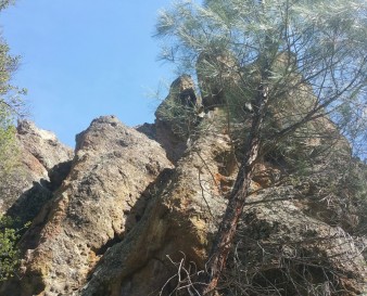
pinnacle climb
And please, my friends do not litter.
The Pinnacles National Park east entrance is located 32 miles south of downtown Hollister, the San Benito County seat. For a location map of Pinnacles National Park, please click here.
You can obtain a brochure that includes trail maps when you check in at the park’s Visitor Center, located inside the campground store.
Continue reading more at BenitoLink here..
Pinnacles National Park High Peaks Trail
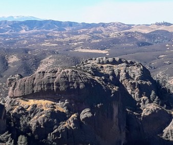
The crown jewel of hiking on public lands in San Benito County has to be the High Peaks Trail in Pinnacles
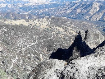
High Peaks lookout
Sunny autumn days provide perfect walking conditions at the park. Although you are unlikely to encounter large crowds of people on this featured trail on weekdays, it is always good to see folks from other areas coming to our county to hike. On an early November Tuesday, I met a tech worker named Nick from Philadelphia and three young visitors from the Netherlands on the Bear Gulch Trail, one of whom was studying Physics at Stanford. I was fortunate to hear about his travels and his research as I ate my lunch on the bench overlook near Scout Peak. An extra tangerine from my pack cheered him up and sparked a good conversation. Up on top, I passed a few local couples coming and going, all of whom had one thing in common: brightly shining, smiling faces. This trail makes people happy!
And please, my friends do not litter.
For a location map of Pinnacles National Park, please click here.
Continue reading at BenitoLink here..
Tres Pinos
If you are looking for a good breakfast and a moderate six-mile hike with terrific country views, grab a friend and try out this tour of Tres Pinos on Airline Highway south of Hollister. FlapJacks Breakfast and Grill next to the Post Office serves a mean, hiker-size dish called Blueberry Flapjacks Fantasy. It’s the perfect fuel for a casual walk through town, up Quien Sabe Road and back, over to the Tres Pinos Creek crossing on Southside Road, and a round trip to the Tres Pinos Union School on the community bike path.
On a cool, overcast Thursday morning, I met Ridgemark resident and fellow retiree Mel Tungate at FlapJacks to chow down and get acquainted face to face for the first time. Our shared interests of hiking and bicycling pages on social media prompted a meeting to talk in person. His children were just a little too old to have been at San Benito High School during my tenure there, but I recognized several of the names of their favorite teachers. I was happy to hear that he had hiked a section of the Pacific Crest Trail in Southern California, so we traded trail stories about that as well.
For a location map of Tres Pinos, click here.
Baler Strong
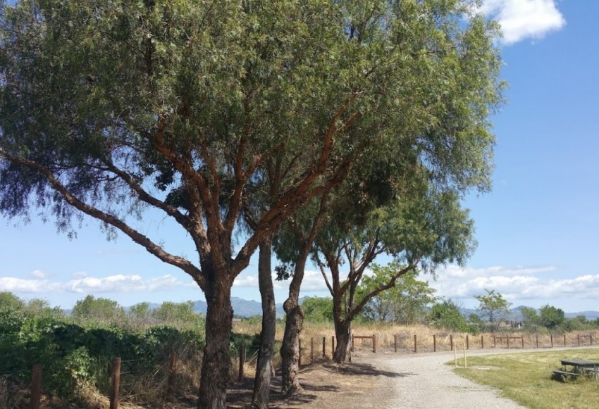
The closest thing we have to a River Parkway so far in San Benito County is the San Benito High School cross country course off Nash Road near Powell Street, just southwest of campus. Circling abandoned river terraces, the well-worn dirt path cuts through a mile and a half maze of oat grass and cottonwood trees.
This savannah-like terrain is a nibbling paradise for cottontails and jackrabbits, plus the occasional feral cat or a dog on the lam from the adjoining neighborhood. This is not the prettiest walking venue in the county, but it’s convenient and safe and an easy, a flat track to pound out some morning or evening miles whenever school is out. Early or late on a clear day, the views of the Diablo Range and the Gabilan Mountains can be stunning. Two or three brisk laps around the fields will get your heart pumping and make you glad you came.
And please my friends, do not litter.
For a location map of San Benito High School, click here.
St Francis Loop
If you are looking for a beautiful five-mile walk on country roads with minimal inclines and a wide variety of scenery, consider this loop hike from the Hacienda de Leal in San Juan Bautista to the St. Francis Retreat Center gate and back. You will cross the San Andreas Fault (SAF) four times, a historical railroad track twice, walk through a tree tunnel, and meet three sheep, some horses, and a cute but disturbing little donkey with an all-business, deadeye stare. Seriously, don’t mess with that guy. You will also pass through some of the most gorgeous grazing and farming land in the county.
As a loop hike, locals can start and finish anywhere that is convenient, safe, and legal for parking. Visitors staying at the Hacienda, St. Francis, or the Mission Farm RV Park can simply start the walk from their front doors. I have described the route beginning at the Hacienda de Leal at the corner of The Alameda and Old San Juan Hollister Road in San Juan Bautista.
The St. Francis Retreat Center website has a map of the grounds, including two miles of hiking trails and a small pond. Visitors are welcome with advance notice as long as retreats or events are not in session. Please respect this and all private property along this route.
And please my friends, do not litter.
For a location map of this hike, click here.
For a location map of the San Andreas Fault from the Geology Café website, click here.
Continue reading at BenitoLink here..
The Art and Science of Downtown Hollister
You don’t have to pack up the minivan and drive big miles on the highway to find a good walk in San Benito County. Downtown Hollister offers walking tours that will stretch your legs and stimulate your imagination. In this segment, I combine the Hollister Public Art Walking Tour with the Calaveras Fault Earthquake Walk for a lively four-mile exercise in self-improvement.
The Public Art Walking Tour map can be found on pages 42-43 of the The Guide, compliments of the San Benito County Chamber of Commerce. To start, park in or near the Briggs Building at Fourth Street and San Benito. In front of the building, you will see a sculpture of a smiling man riding an adult tricycle. Created by Sean Monaghan, it is called In Loving Memory and Spirit of Eric Tognazzini. For background information about the dedication of this memorial, please click here.
And please, my friends, do not litter.
For a map of downtown Hollister, please click here.
San Benito County Historical Park
The best-kept recreational and educational secret in San Benito County is the San Benito County Historical Park (SBCHP), located at 8300 Highway 25, one mile south of Tres Pinos. Set on 35 acres of bucolic, shade-tree-dotted countryside next to Tres Pinos Creek, with six acres of county historical exhibits, the park is the perfect place for a family reunion, a picnic lunch, or a leisurely stroll around the grounds.
In the historical village, a project of the San Benito County Historical Society, you can step back in time to visit an old schoolhouse, a dance hall, a firehouse, a bar, a livery stable and barn, and view just about every antique farm implement known to mankind. Currently under construction is an indoor model train track that includes a replica of the Hollister-Tres Pinos line, which was used to haul hay from the southern end of San Benito County into the “big city.” Future plans call for a local indigenous people’s exhibit with a scaled version of an Amah Mutsun village, along with appropriate tribal educational materials.
In the spacious, shady group picnic areas, you will find tables and barbeque grills, support stands for volleyball nets, a playscape for the little ones, and plenty of open areas for games and parties. You can reserve group space for events in the picnic areas as well as in the dance hall or arrange for tours of the historical village by following the directions on the SBCHP website.
And please my friends, do not litter.
The San Benito County Historical Park is open daily during daylight hours. Gates are closed at dusk. There is a modest $3 day-use fee payable at the “iron ranger” just past the bridge after you enter.
For a location map to the park from downtown Hollister, please click here.
Continue reading at BenitoLink here..
Mudstone Ranch
Mudstone Ranch, open sunrise to sunset daily, is seven miles south of Hollister at 7800 Cienega Rd. in the Hollister Hills State Vehicular Recreation Area. In late summer, from the parking area inside the classic wooden ranch sign, the sun-scorched grasses, the faded trail markers, and the mud-cracked lower trails may not seem that inviting. But like so many other trails, something happens when you start walking. Your senses wake up to the beauty of the ranch land and its inhabitants. You are seduced by the rolling hills and the sweeping vistas. The vultures, the quail, the doves, the lizards, and the swift, unseen critters that make sudden, scurrying sounds in the knee-high grass all work their charms. Keep walking. Mudstone Ranch grows on you.
On a recent Thursday morning with local schools back in session, my hiking buddy Mike Carroll and I were the only ones at the park. We paid the Iron Ranger a $5 day use fee and, picking up a free map at the kiosk, we selected a loop hike of about four and a half miles. Neither one of us had been here before, so this would be a shakedown cruise – a relaxed initial introduction to the ranch. The trails here are multi-use. You can walk, you can ride your horse, or you can mountain bike. On this day, we did not have to worry about sharing the road with anyone.
And please, my friends do not litter.
For a location map of Mudstone Ranch, please click here.
Continue reading at BenitoLink here..
Hollister Parks Loop 1
Most of us, if we had our druthers, would prefer to walk in a giant Sequoia forest on soft pine duff with the fresh scent of autumn and the sound of cawing magpies in the air. But family, employment, school, and other important responsibilities often conspire to keep us close to home. How can we balance our need for exercise and nature within our busy time constraints? One way is through urban hiking adventures to our local parks.
Try this five-mile loop that links McCarthy, Veterans’ Memorial, and Dunne Parks in Hollister. Look up as you are walking. You will probably see someone you know.
And please, my friends do not litter.
For a location map of this loop hike, please, click here.
Continue reading on BenitoLink here..
Quien Sabe Rd.
Note: Please be aware of the high fire danger in all grassland or brushy areas of San Benito County. Activities like idling vehicles along county roads, mowing dry grass, using motorcycles and 4-wheelies in dry areas can endanger the whole community.
This is Halloween season and few critters in nature are as spooky as big ole hairy spiders. Specifically, I am talking about tarantulas and even more specifically, I am talking about big ole hairy male tarantulas out looking for a mate.
I am kidding, of course. Tarantulas are not that threatening. They really won’t bother you unless you are dumb enough to approach them from above to try to pick them up with your hand. They will sense that as an action by one of their natural predators, like a hawk swooping down from the sky. If, however, you place your hand palm down on the ground in front of a tarantula, it will probably crawl right over it. Depending upon how squeamish you are, that will either tickle a little or it will make you scream. But really, the tarantula won’t be able to tell the difference between your hand and a chicken burrito. Stay calm and get tickled. You can scream later.
And please, my friends do not litter.
For directions to the top of Quien Sabe Road, please click here.
Continue reading at BenitoLink here..
Griswold Hills
The Griswold Hills Recreation Area, near Panoche in far southeastern San Benito County, is more than fifty miles away from my home in San Juan Bautista, but well worth the effort to get there. The winding route on Panoche Road past the Paicines wineries and through the slide areas to Panoche Pass (el. 2,250 feet) is stunning, with long views of pristine cattle ranches and rocky, steep canyons along the way. Crumbing slopes of serpentinite (California’s state rock) and greenstone shine with a black and deep green hue, passing into dipping layered beds of chocolate brown shale. East of the pass, the rocks are Cretaceous in age, uplifted remains of a time when the valley was the edge of the continent, once covered in a shallow sea.
Griswold Hills is under the jurisdiction of the U. S. Bureau of Land Management and has long been used by target shooters and game bird hunters. Hikers in this area should make themselves visible with bright colors and utilize good common sense. Braided cattle trails wind up toward the ridge, providing steady, challenging climbs past the beautiful, sometimes vertical, sedimentary rock formations. The brush can get pretty dense in places and the canyons narrow as you gain elevation, so watch your step and don’t get yourself in a jam. Climb as high as you can safely navigate and pause frequently to enjoy the awesome views.
And please, my friends, do not litter.
For a location map to Griswold Hills Recreation Area, please click here.
Continue reading at BenitoLink here..
Laguna Mountain Doubleheader
Near the southern end of San Benito County, just west of Hernandez Reservoir along Coalinga Road, lies the Laguna Mountain Recreation Area, operated by the U. S. Bureau of Land Management (BLM). This area includes three trailheads and two free campgrounds from which to stage your fun, non-motorized adventures. Last week, on a cool, sunny mid-December morning, I explored two of them, the Short Fence Trail (aka Trail L5) and the Upper Sweetwater Trail (aka Trail L3).
BLM maps of the recreation area are available at the trailhead kiosks, along with vault toilets and picnic tables. Be sure to bring your own drinking water and pack out all of your trash when you leave.
To get to the Laguna Mountain Recreation Area, head south on Highway 25 from Hollister. About 12 or so miles past the entrance to Pinnacles National Park, turn left on Coalinga Road. The Short Fence Trailhead is 13 miles ahead on the right. There are several one lane cattle guard bridges along the route, so take it easy and stay alert.
And please, my friends do not litter.
For a location map of the Laguna Mountain Recreation Area, please click here.
For information about hiking, camping, hunting, and target shooting in the Laguna Mountain Recreation Area, please click here.
For a free California Campfire Permit, please click here.
Continue reading at BenitoLink here..
Laguna Falls Teaser
One of the best hiking trails in San Benito County is Trail L1 in the Laguna Mountain Recreation Area on Coalinga Road fifty miles southeast of Hollister. From the parking lot in the Laguna Mountain Campground, the trail takes you 2.5 miles into “The Gorge” along Laguna Creek deep in Miller Canyon. Near the end of the trail, the creek cuts a perpendicular line through a steeply plunging serpentinite ridge. Depending on rainfall, time of year, and your rock scrambling abilities, you might be lucky enough to climb down and witness a series of small waterfalls with their corresponding idyllic wading pools. Notice I said “might.” Don’t get mad at me if you expend all that energy and it’s just a teeny dribble. Even without the falls, though, the trail itself is still a fun hike.
The first half mile or so of the walk is on a fire road that leads up to Laguna Mountain. If you want to climb the 4,462 foot peak, stay on the fire road for a couple of miles to its end and scramble to the top as best you can. There are cairns marking the way, but it is not really a trail. Trail L1, however, is clearly marked as an all-purpose trail (hiking, mountain biking, equestrian – no motor vehicles) veering to the right off the fire road. From there, it switches back through the chaparral and serpentinite rubble down to the creek and continues on its opposite bank. On a cold January morning, I was glad that the flow was calm and the crossing was an easy rock hop. I would have splashed through anyway, but it was nice to keep my feet dry for a while on a chilly day.
And please, my friends do not litter.
For information on Leave No Tracewilderness principles, please click here.
For a location map of the Laguna Mountain Recreation Area, please click here.
Continue reading at BenitoLink here..
Pinnacles National Park Chalone Peak Trail
The hike to North Chalone Peak in Pinnacles National Park is all about the views. My advice? Stop frequently and drink in the long vistas in every direction, ridge after ridge of stunningly colorful volcanic boulders, plunging ravines, uplifted and eroded spires - the whole magnificent, sprawling landscape sparsely covered in juniper, madrone, and pine. Described as “strenuous” in the park brochure, the nine mile round trip from the Bear Gulch parking lot is definitely a challenge. But who is to say that you have to do every bit of it to have fun? Want to visit the tower up on the peak? Go for it if you like, or go as far as it suits you if not. The views along the way are just as rewarding as those from the tower. Bring plenty of water and snacks no matter what you decide.
Winter is a great time to take this hike, especially on a weekday when crowds are sparse. The cool morning yields to pleasant temperatures in the midday sun. Like many of the hikes in the park, this one begins and ends in the parking lot near the Nature Center at Bear Gulch. Clean restrooms and a drinking fountain are right next to the trailhead and maps can be found at the kiosk by the Nature Center. My hiking buddy Mike and I opted to skip the Bear Gulch Cave this time, taking the Rim Trail around and up to the Reservoir. Conditions were perfect to photograph reflections in the calm, still water.
Enjoy! And please, my friends do not litter.
For a location map of Pinnacles National Park, please click here. To read all the BenitoLink "Walking San Benito" articles by Jim Ostdick, use "Walking San Benito" in the website search box.
Continue reading at BenitoLink here..
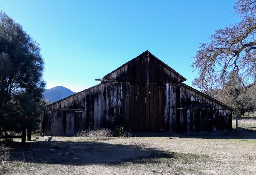
Pinnacles National Park Bacon Ranch
The path to Bacon Ranch at Pinnacles National Park is a beautiful walk that just about everyone can manage, including folks in wheelchairs and toddlers in strollers. If you use a walker to get around, practice on gravel first and see how it goes. You might want to use a wheelchair instead if your muscles or joints are not up to handling the vibrations. The fresh air and natural setting could more than make up for some temporary discomfort, though, so don’t be afraid to give it a go if you are strong enough.
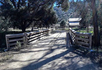
The sturdy bridge across the creek leading to Bacon Ranch.
The “trail” is a narrow half-mile dirt/gravel lane that leaves the day use area behind the Visitor Center/Campground Store. It crosses a burly wooden bridge and leads you to the former homestead of Ben and Orea Bacon, among the earliest European American settlers in Bear Valley. In addition to the house (built in 1894), there is an iconic barn, a blacksmith shop (my favorite), a garage, a corral, and a few more out-buildings. There are plenty of shade trees and the grounds are peaceful and pleasant, with a sturdy plank picnic table if you need or want a rest. Historical placards full of informative descriptions and photographs have been placed near all the buildings. For an in depth look at the life of pioneer Elizabeth Quigley Shell Bacon, read Leslie David’s BenitoLink article here.
The Chalon and the Mutsun people lived and farmed on this land. The Pinnacles National Park staff has summarized the history of the region in a brief article here.
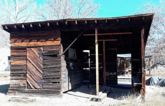
The Bacon Ranch blacksmith shop.
And please, my friends do not litter.
For a location map of Pinnacles National Park, please click here.
Continue reading more at BenitoLink here..
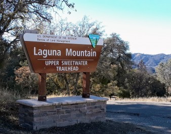
Laguna Mountain Doubleheader
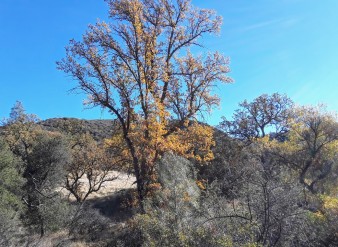
A little late autumn color on the Short Fence Trail.
Near the southern end of San Benito County, just west of Hernandez Reservoir along Coalinga Road, lies the Laguna Mountain Recreation Area, operated by the U. S. Bureau of Land Management (BLM). This area includes three trailheads and two free campgrounds from which to stage your fun, non-motorized adventures. Last week, on a cool, sunny mid-December morning, I explored two of them, the Short Fence Trail (aka Trail L5) and the Upper Sweetwater Trail (aka Trail L3).
Sweetwater is a great place to bring your horse or your mountain bike. Just remember the universal courtesies that apply to right-of-ways on all multi-use outdoor trails: hikers go first, then horses, then bikers. There is ample parking and turn-around space for trailers at the entrance to the Sweetwater Campground across the road from the trailhead. The campground itself is clean, remote, and beautiful, with six campsites for tenting or for RVs (no hookups). There is no water and stays are limited to fourteen days. Each camp has a fire ring, but bring your own wood, campfire permit (see link below), a shovel, and sufficient water to drown the coals.
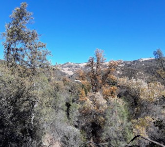
A rare long view from the Short Fence Trail.
And please, my friends do not litter.
For a location map of the Laguna Mountain Recreation Area, please click here.
For information about hiking, camping, hunting, and target shooting in the Laguna Mountain Recreation Area, please click here.
For a free California Campfire Permit, please click here.
Continue reading at BenitoLink here..
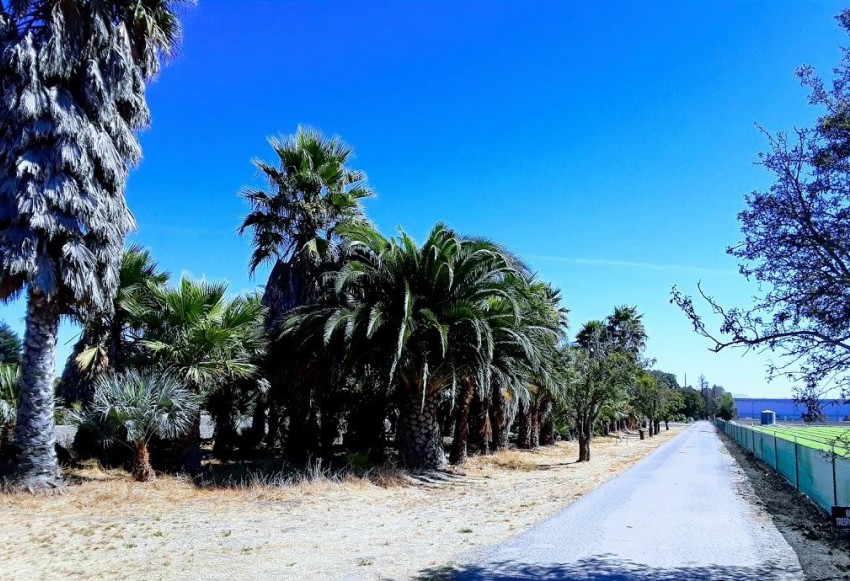
San Juan Valley
Newcomers to San Benito County may be unaware that much of the land where the towns of San Juan Bautista and Hollister are situated today was once under water -twice under water, actually. Those rich, productive farm soils in the San Juan Valley formed at the bottom of Lake San Benito and Lake San Juan way back in the Pleistocene epoch some 200,000 years ago. If you want to learn more about how all that happened and how long the lakes lasted, watch the slide show attached to the end of this article. If you want to take a walking tour of today’s San Juan Valley, read on.
On a somewhat toasty Tuesday morning, I parked near the Luck Museum in San Juan Bautista and started walking out of town on First Street toward Prescott Road. Local bicyclists are familiar with this route as a safer alternative to Hwy 156 between Union Road and The Alameda. Turning right on Prescott past True Leaf Farms, I was soon hoofing it along San Justo Road (facing traffic for safety) with great views of the Lomerias Muertas (the Barren Hills) to the north and Fremont Peak to the south. Depending on the season in this stretch, you might see artichokes or apples or peppers or berries or Lord knows what kind of fruit or vegetable growing here before the big “S” turn at Lucy Brown Road. The folks on this route stay busy.
Volcanoes (extinct, thank goodness).
And please, my friends do not litter.
For a location map of this hike, please click here.


